MASIE-NH Daily Image Viewer
Arctic sea ice extent
Use the MASIE-NH Daily Image Viewer to see where Arctic sea ice is now and how that data compares to the last four years. The data shown below is obtained nightly and comes from the most recent full day of data from the U.S. National Ice Center (NIC). As is the rule with operational centers, gaps in production can occur without warning.
Daily Arctic sea ice extent
Image below updates daily
Entire northern hemisphere time series plot
This plot compares sea ice extent over the last four weeks for this year compared to the last four weeks of the previous four years. The plot image below updates daily.
Image download options
Today's Daily Sea Ice Extent Images
Daily Sea Ice Extent Values
Explore data by Arctic region
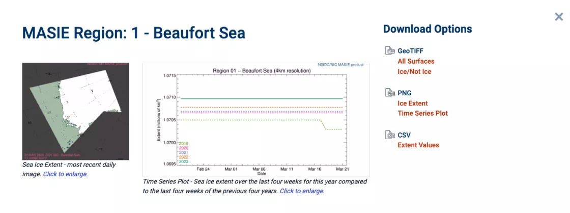
You can also use MASIE to explore and download data for individual Arctic regions. Regional data include daily images and time series plots.
MASIE (may-zee) is produced by the NOAA@NSIDC program in cooperation with the U.S. National Ice Center (USNIC).
If you find MASIE helpful, please let us know with a quick message to NSIDC User Services. This will help us communicate to our funding agencies how the product is being used.


