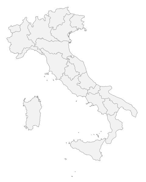
File:Italy map with regions blank.svg
From Wikimedia Commons, the free media repository
Jump to navigation
Jump to search

Size of this PNG preview of this SVG file: 480 × 600 pixels. Other resolutions: 192 × 240 pixels | 384 × 480 pixels | 614 × 768 pixels | 819 × 1,024 pixels | 1,638 × 2,048 pixels | 1,200 × 1,500 pixels.
Original file (SVG file, nominally 1,200 × 1,500 pixels, file size: 316 KB)
File information
Structured data
Captions
Captions
Add a one-line explanation of what this file represents
Summary
[edit]| DescriptionItaly map with regions blank.svg |
Беларуская (тарашкевіца): Рэгіёны Італіі. Deutsch: Regionen Italiens. Lietuvių: Sunumeruoti Italijos regionai. Slovenčina: Regióny Talianska. Tiếng Việt: Các vùng hành chính của Italia. Tên vùng ở bảng bên tương ứng với chữ số trong bản đồ. |
| Date | (UTC) |
| Source |
This file was derived from: Italy map with regions numbered.svg:  |
| Author |
|
This map was improved or created by the Wikigraphists of the Graphic Lab (fr). You can propose images to clean up, improve, create or translate as well. |
Licensing
[edit]| Public domainPublic domainfalsefalse |
| I, the copyright holder of this work, release this work into the public domain. This applies worldwide. In some countries this may not be legally possible; if so: I grant anyone the right to use this work for any purpose, without any conditions, unless such conditions are required by law. |
Original upload log
[edit]This image is a derivative work of the following images:
- File:Italy map with regions numbered.svg licensed with PD-self, PD-user
- 2015-07-28T12:46:54Z Carnby 1200x1500 (381630 Bytes) Molise
- 2007-04-05T16:32:48Z Helix84 1200x1500 (379033 Bytes) unflowed text
- 2007-04-05T16:28:15Z Helix84 1200x1500 (383966 Bytes) {{Information |Description= |Source=simplified [[:Image:Languages spoken in Italy.svg]] |Date=5.4.2007 |Author=~~[[User:Helix84|helix84]] |Permission={{PD-self}}{{PD-user|F l a n k e r}} |other_versions= * [[:Image:Italy_map_
Uploaded with derivativeFX
File history
Click on a date/time to view the file as it appeared at that time.
| Date/Time | Thumbnail | Dimensions | User | Comment | |
|---|---|---|---|---|---|
| current | 15:03, 16 April 2020 |  | 1,200 × 1,500 (316 KB) | Flappiefh (talk | contribs) | == {{int:filedesc}} == {{Information |Description={{be-x-old|Рэгіёны Італіі.}} {{de|Regionen Italiens.}} {{lt|Sunumeruoti Italijos regionai.}} {{sk|Regióny Talianska.}} {{vi|Các vùng hành chính của Italia. Tên vùng ở bảng bên tương ứng với chữ số trong bản đồ.}}<!--Description fetched by DieBucheBot--> |Source={{Derived from|Italy map with regions numbered.svg|display=50}} |Date=2020-04-16 15:02 (UTC) |Author=* [[:File:Italy map with regions numbered.svg|File:Italy map with regions numbered.s... |
You cannot overwrite this file.
File usage on Commons
The following 2 pages use this file:
File usage on other wikis
The following other wikis use this file:
- Usage on fr.wikipedia.org
- Usage on it.wikipedia.org
- Usage on oc.wikipedia.org
Metadata
This file contains additional information such as Exif metadata which may have been added by the digital camera, scanner, or software program used to create or digitize it. If the file has been modified from its original state, some details such as the timestamp may not fully reflect those of the original file. The timestamp is only as accurate as the clock in the camera, and it may be completely wrong.
| Width | 1200 |
|---|---|
| Height | 1500 |