SE6875 : Cherrygarth Farm
taken 3 months ago, near to Fryton, North Yorkshire, England
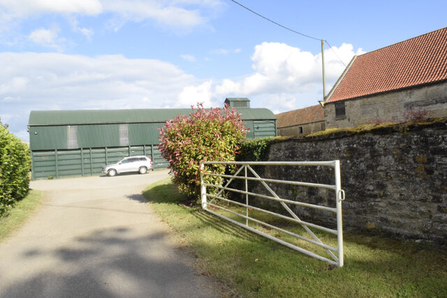
Cherrygarth Farm
Looking into the yard of Cherrygarth Farm we have almost left square SE 6875 (the barn over the wall on the extreme right of the picture is in SE 6874).
![Creative Commons Licence [Some Rights Reserved]](https://s1.geograph.org.uk/img/somerights20.gif)
|
· Find out How to reuse this image ·
Share:
|
|||||
| Start a discussion on SE6875 | Suggest an update to this image | Contact the contributor | |||
 Map © Crown Copyright")
TIP: Click the map for more Large scale mapping
- Grid Square
- SE6875, 23 images (more nearby
 )
)
- Photographer
- Chris Sayles (find more nearby)
- Date Taken
- Friday, 28 June, 2024 (more nearby)
- Submitted
- Saturday, 29 June, 2024
- Geographical Context
- Subject Location
-
OSGB36:
 SE 6887 7503 [10m precision]
WGS84: 54:9.9876N 0:56.7984W - Camera Location
-
OSGB36: SE 6881 7502
- View Direction
- EAST (about 90 degrees)
Looking for a postcode? Try this page
This page has been viewed about 4 times.
View this location:
KML (Google Earth) ·
Google Maps ·
Bing Maps ·
Geograph Coverage Map ·
More Links for this image