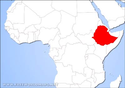
Ethiopia is located in the eastern part of the African continent.
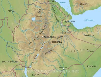
Ethiopia is a massive highland complex of mountains and dissected plateaus divided by the Great Rift Valley, which runs generally southwest to northeast and is surrounded by lowlands, steppes, or semi-desert.
Ras Dashen is the country's highest point at 4543 meters above sea level.
The capital city is Addis Ababa. Other important cities are Dire Dawa, Dollo Odo, Jima, Gondar, and Werder.
Ethiopia Physical Map
Physical map of Ethiopia, equirectangular projection
Click on above map to view higher resolution image
Ethiopia physical features
Other maps of Ethiopia
Customized Ethiopia maps
Could not find what you're looking for? Need a special Ethiopia map? We can create the map for you!Crop a region, add/remove features, change shape, different projections, adjust colors, even add your locations!


