Administrative divisions of Ghana
 |
|---|
| Constitution |
|
|
|
|

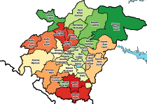
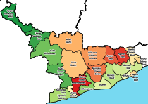
The administrative divisions of the Republic of Ghana consist of four geographic terrestrial plains and 16 regions.[1] For local government, there are a total of 261 districts including 145 ordinary districts, 109 municipal districts, and six metropolitan districts.[2]
Various types of councils exist below the district level including 58 town or area councils, 108 zonal councils, and 626 area councils. At a smaller level of local administration, there are over 16,000 unit committees.
Electorally, Ghana is divided into 275 constituencies.
Regions
[edit]
Districts
[edit]
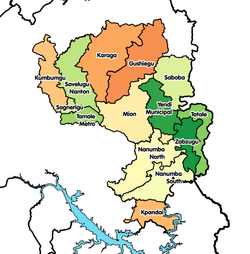
There are 228 Districts in Ghana which includes ordinary districts with population of less than 75,000, Municipality districts of population between 75,000 and 95,000 and Metropolitan districts with population of above 250,000.
Government of Ghana Parliamentary Constituencies of Ghana
[edit]
| |||||||||||||||||||||||||||
Settlements
[edit]See also
[edit]References
[edit]- ^ "Map & Regions in Ghana". Ghana Permanent Mission to the United Nations. Retrieved 2021-05-25.
- ^ "Ghana: Administrative Division". www.citypopulation.de/en/ghana/. Retrieved 2023-04-24.
- ^ Kweku Zurek. "Confirmed: Results of the 2018 referendum on new regions". Graphic Online. Retrieved 6 October 2020.
- ^ "Ghana: Regions, Major Cities & Urban Localities - Population Statistics in Maps and Charts". City Population. Retrieved 6 October 2020.
Administrative divisions of Africa | |
|---|---|
| Sovereign states |
|
States with limited recognition | |
Dependencies and other territories |
|


