Nashawena Island
Appearance
This article needs additional citations for verification. (June 2022) |
| Geography | |
|---|---|
| Coordinates | 41°25′45″N 70°52′28″W / 41.4292751°N 70.8744779°W[1] |
| Archipelago | Elizabeth Islands |
| Total islands | 1 |
| Area | 2.732 sq mi (7.08 km2) |
| Highest elevation | 82 ft (25 m) |
| Administration | |
United States | |
| State | Massachusetts |
| County | Dukes County |
| The Elizabeth Islands |
|---|
 |
| Major islands |
| Minor islands |
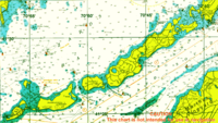
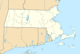
Nashawena Island is the second largest of the Elizabeth Islands of Dukes County, Massachusetts, United States. It lies between Cuttyhunk Island to the west and Pasque Island to the east. The island has a land area of 7.076 square kilometres (2.732 sq mi; 1,749 acres) and a population of 2 persons as of the 2000 U.S. Census.[1] The island is part of the town of Gosnold, Massachusetts. Nashawena is a Wampanoag word meaning "middle island". Rock Island and Baret Island are two small islands located north of Nashawena.
References
[edit]- ^ "Nashawena Island". Geographic Names Information System. United States Geological Survey, United States Department of the Interior. Retrieved August 20, 2018.


