Sangenjaya
Sangenjaya
| |
|---|---|
District | |
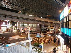
 Sangenjaya intersection | |
| Coordinates: 35°38′34.67″N 139°40′11.82″E / 35.6429639°N 139.6699500°E | |
| Country | Japan |
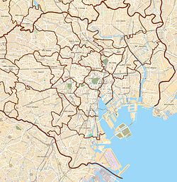
| City | Tokyo |
| Ward | Setagaya |
| Population (September 1, 2019)[1] | |
| • Total | 13,108 |
| Time zone | UTC+9 (JST) |
| Postal code | 154-0024[2] |
| Area code | 03 |
Sangenjaya (
Education
[edit]Setagaya Board of Education operates public elementary and junior high schools.
Sangenjaya 1-chome is zoned to Nakazato Elementary School (
Transport
[edit]Sangen-jaya Station on the Den-en-toshi Line is located at the north end of this district.
In popular culture
[edit]The area is the basis for a district called Yongen-Jaya in the video game Persona 5 and its spin-offs, just outside of Shibuya.[4]
References
[edit]- ^ "
世田谷 区 の町 丁 別 人口 と世帯 数 ".世田谷 区 . 2019-09-03. Retrieved 2019-09-29. - ^ "
郵便 番号 ".日本 郵便 . Retrieved 2019-08-30. - ^ "
通学 区域 :住所 別 で見 る・小学校 ・中学校 さ行 (三軒茶屋 )". Setagaya City. Retrieved 2022-10-09. - ^ Geek, Scribbling (2019-01-08). "Sangenjaya Sights: A Persona 5 Tourist in Tokyo Part 2". The Scribbling Geek. Retrieved 2023-11-29.


