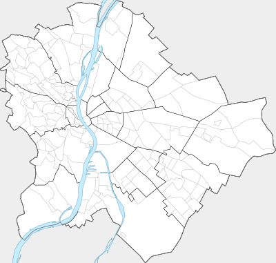
Templat:Location map Budapest
Tampilan

| ||||
| nama | Budapest | |||
|---|---|---|---|---|
| koordinat perbatasan | ||||
| 47.613628 | ||||
| 18.924935 | ←↕→ | 19.338735 | ||
| 47.349755 | ||||
| titik pusat peta | 47°28′54″N 19°07′55″E / 47.4816915°N 19.131835°E | |||
| gambar | Map budapest districts-and-neighbourhoods.svg | |||
| image1 | Topographic map of Budapest.png | |||

| ||||
