Atami
Utseende
| Atami ( | |
| Stad | |
| Land | |
|---|---|
| Region | Chūbu (Tōkai) |
| Prefektur | Shizuoka |
| Ö | Honshū |
| Koordinater | 35°05′45″N 139°04′18″Ö / 35.09583°N 139.07167°Ö |
| Area | 61,78 km²[1] |
| Folkmängd | 37 570 (1 okt 2015)[1] |
| Befolkningstäthet | 608 invånare/km² |
| Geonames | 1864945 |
| Träd | Atamisakura[2] |
| Fågel | Fiskmås |
| Blomma | Ume |
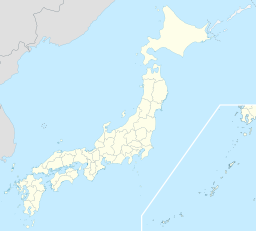
 Atamis läge i Japan
| |
 Städer: Signifikanta städer Övriga städer Landskommuner: Köpingar Byar Atamis läge i Shizuoka prefektur
Städer: Signifikanta städer Övriga städer Landskommuner: Köpingar Byar | |
| Webbplats: http://www.city.atami.shizuoka.jp/ | |
Atami (japanska:
Kommunikationer
[redigera | redigera wikitext]Atami trafikeras av Tokaido Shinkansen.[4]
Källor
[redigera | redigera wikitext]- ^ [a b] ”
市区 町村 プロフィール (Kommunprofiler)” (på japanska). Masahiro Higashide. http://uub.jp/cpf/shizuoka.html. Läst 2 november 2016. - ^
熱海 市民 憲章 (på japanska), Atami, läs online.[källa från Wikidata] - ^ Publikation 2005 Population Census of Japan, Overview Series No.9; Population of Major Metropolitan Areas, Statistics Bureau, Ministry of Internal Affairs and Communications, Japan; ISBN 978-4-8223-3577-9.
- ^ ”Titabell Sanyo och Tokaido Shinkansen 2007-07-01 -- 2007-09-30”. http://jr-central.co.jp/eng.nsf/english/timetable/$FILE/Eastbound2007-7.pdf. Läst 25 september 2007.[död länk]
