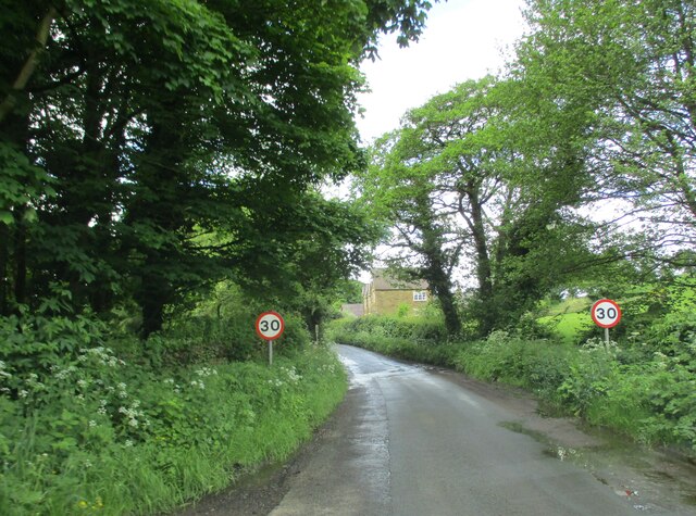
SE4587 : Whinmoor Hill into Upsall
taken 5 months ago, near to Upsall, North Yorkshire, England
- Grid Square
- SE4587, 21 images (more nearby
 )
)
- Photographer
- Martin Dawes (find more nearby)
- Date Taken
- Wednesday, 29 May, 2024 (more nearby)
- Submitted
- Monday, 22 July, 2024
- Geographical Context
- Field (from Tags)
- Subject Location
-
OSGB36:
 SE 4564 8708 [10m precision]
WGS84: 54:16.6401N 1:18.0349W - Camera Location
-
OSGB36:
 SE 4566 8709
 - View Direction
- West-southwest (about 247 degrees)
Looking for a postcode? Try this page
This page has been viewed about 7 times.
View this location:
KML (Google Earth) ·
Google Maps ·
Bing Maps
 ·
Geograph Coverage Map ·
 More Links for this image

![Creative Commons Licence [Some Rights Reserved]](https://s1.geograph.org.uk/img/somerights20.gif)
