Data Collection

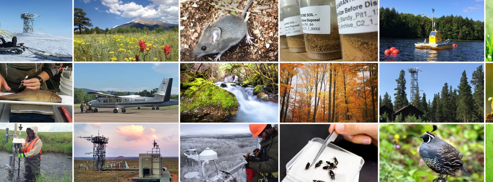
NEON collects data and samples using an extensive network of thousands of automated instruments and hundreds of field technicians, as well as though airborne remote sensing. Where logistically possible, NEON colocates terrestrial and aquatic sites within the same watershed to capture connections across atmospheric, terrestrial, and aquatic ecosystems. At all field sites, data are collected to characterize the weather and climate, land cover, and organisms of the surrounding ecosystem.
Three categories of data are recorded and processed, each through a unique collection and processing system: Airborne Remote Sensing is conducted with the Airborne Observation Platform (AOP), Automated Instruments data are collected through the Instrumented System (IS), and Observational Sampling data and physical samples are collected through the Observational System (OS). Collection methods are standardized and well documented to ensure long term comparability of patterns and processes across NEON sites and over time.
Airborne Remote Sensing
Airborne Remote Sensing is conducted with the NEON Airborne Observation Platform (AOP), a synergistic array of Earth observation instruments installed into a light aircraft designed to collect high resolution remote sensing data at low altitude. Airborne remote sensing surveys are conducted over NEON field sites to collect regional scale landscape information. These surveys take place in areas where NEON’s observational and instrumented sampling is occurring, allowing relationships to be drawn between NEON’s detailed observations and the broader environmental and ecological conditions. These surveys are conducted during peak greenness to collect quantitative information on land cover and changes to ecological structure and chemistry, including the presence and effects of invasive species across landscapes. Instrumentation included on AOP flights include a discrete and full-waveform lidar, an imaging spectrometer, a high-resolution digital camera, and a GPS antenna and Inertial Measurement Unit.
Automated Instruments
Through the Instrumented System (IS) NEON deploys automated instruments to collect meteorological, soil, phenological, surface water, and groundwater data at field sites. Data are collected continuously to capture patterns and cycles across time scales ranging from seconds to years. The IS system is subdivided into the Aquatic Instrumented System (AIS) and the Terrestrial Instrumented System (TIS). At terrestrial sites, NEON installs a micrometeorological tower, soil sensor array, precipitation gauges, and phenocams; and at aquatic sites, NEON installs surface water sensors, groundwater wells, a meteorological station, precipitation gauges, and a phenocam.
Observational Sampling
Through the Observational System (OS), NEON field scientists collect a wide variety of observations and samples at terrestrial and aquatic field sites at regular intervals throughout the year. The OS is subdivided into the Aquatic Observation System (AOS) and the Terrestrial Observation System (TOS). These systems are designed to provide standardized, distributed observations of organisms as well as environmental physical and chemical properties. Aquatic observations characterize channel and lake morphology, organism abundance and diversity, biogeochemistry, seasonal climatic and hydrologic changes, and riparian phenology. Terrestrial observations characterize plant phenology, diversity, biomass, and productivity, as well as the abundance, diversity, phenology, and (for some groups) pathogen status of organisms including birds, small mammals, ticks, mosquitoes, ground beetles, and soil microbes.