Many maps for many parks
Just as every park is different, so too are park maps. Brochure maps are custom designed to emphasize parks’ significant features, ranging from arctic Alaska to Midtown Manhattan to the Caribbean coastlines. Whether you prefer paper or pixels, we have the right map for you.
Download park maps: www.nps.gov/carto
Over 1,000 park maps are available online in several file formats. Download a JPG or PDF map for onscreen viewing, or a layered Adobe Illustrator map that you can modify. All maps on the Carto website are in the public domain.

Landscape panoramas
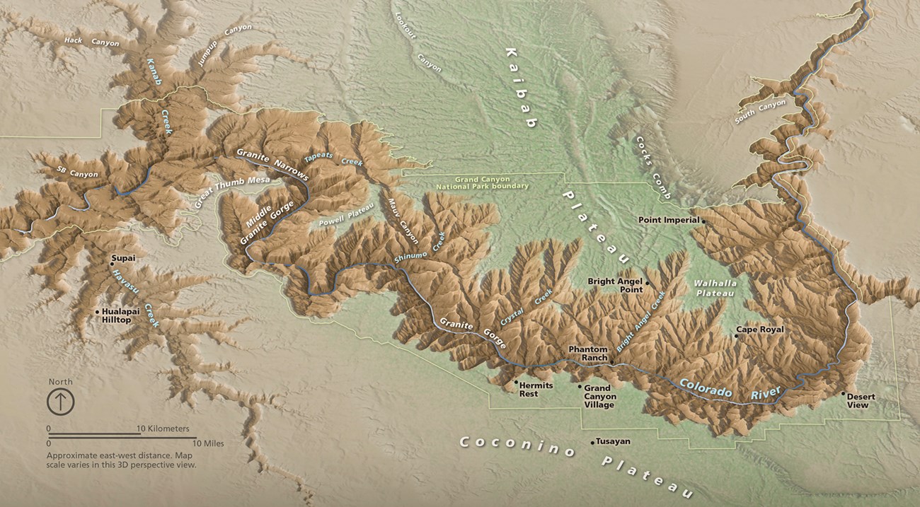
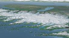
Panoramas show park landscapes as if viewed from an airplane window. Mountains, plateaus, and glaciers appear to “pop off” the page. You can spend a long time looking at these works of art.
Cartographic diagrams
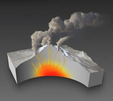
Diagrams explain the hidden stories of parks. Whether a cutaway view of landforms or military action from a long ago battle, diagrams help you better understand a park.
Mobile Maps
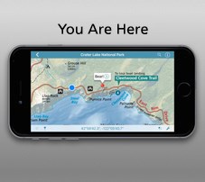
Pinpoint your location on Android and iOS mobile devices with some 200 park maps now available in geospatial PDF format. A blue dot shows where you are on the map even without cell service. Access these maps by downloading the free Avenza Maps app.

Map symbols
Need a symbol? From stargazing to wheelchair access, chances are that our collection of 236 symbols has just what you need. Symbols are available in several common file formats.
Looking closer: 3D site maps
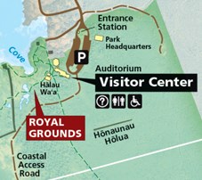
With a 3D map of a small park site, you can easily recognize important buildings while walking the grounds. These maps often include photorealistic detail like trees, gardens, walkways, and glistening water surfaces.
Last updated: May 21, 2019
