(Translated by https://www.hiragana.jp/)
EUNIS -Site factsheet for Adamello
Natura 2000 related content is now shown on the Biodiversity Information System for Europe, BISE. Please go to BISE or use the Natura 2000 map viewer for the latest information.

Adamello

Quick facts

  • Natura 2000 site (code IT3120175)
  • Under Habitats Directive
  • Since October 2010
  • Country: Italy
  • Administrative region: Provincia Autonoma Trento (ITD2)
  • Surface area: 299 km2 (29929.00 ha)
  • Marine area: 0%
  • Located in Alpine biogeographical region
  • It protects 34 species of the Nature Directives
  • It protects 31 habitat types of the Habitats Directive

Source and more information: Natura 2000 Standard Data Form


Species


List

Species summary

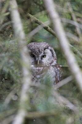
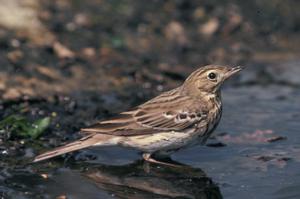
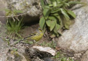
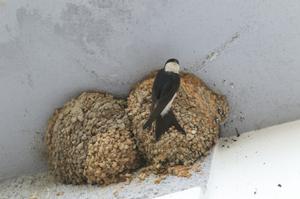
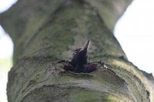
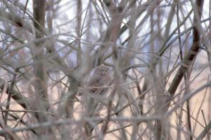
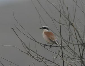
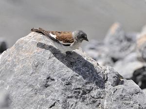
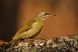
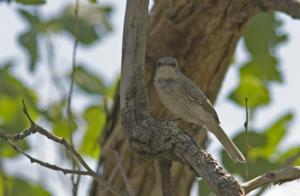
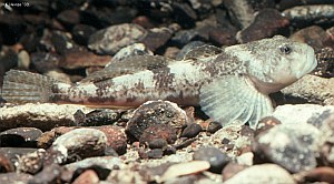
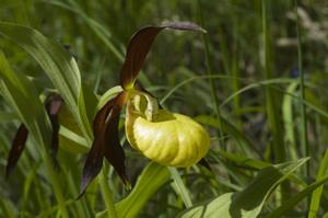
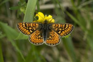
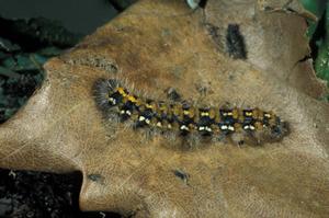
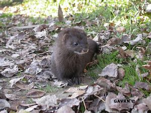
Nature directives' species in this site (34)
Species group Number
Birds 27
Fishes 2
Flowering Plants 1
Invertebrates 2
Mammals 2

Habitat types

Habitat type code Habitat type english name Cover [ha]
3130 Oligotrophic to mesotrophic standing waters with vegetation of the Littorelletea uniflorae and/or of the Isoeto-Nanojuncetea 134.78
3220 Alpine rivers and the herbaceous vegetation along their banks 124.86
3240 Alpine rivers and their ligneous vegetation with Salix elaeagnos 13.95
4060 Alpine and Boreal heaths 1986.72
4070 Bushes with Pinus mugo and Rhododendron hirsutum (Mugo-Rhododendretum hirsuti) 0.01
4080 Sub-Arctic Salix spp scrub 1.65
6150 Siliceous alpine and boreal grasslands 3488.77
6170 Alpine and subalpine calcareous grasslands 42.27
6230 Species-rich Nardus grasslands, on silicious substrates in mountain areas (and submountain areas in Continental Europe) 168.63
6410 Molinia meadows on calcareous, peaty or clayey-silt-laden soils (Molinion caeruleae) 1.72
6430 Hydrophilous tall herb fringe communities of plains and of the montane to alpine levels 3.85
6510 Lowland hay meadows (Alopecurus pratensis, Sanguisorba officinalis) 17.56
6520 Mountain hay meadows 9.31
7110 Active raised bogs 16.14
7140 Transition mires and quaking bogs 80.34
8110 Siliceous scree of the montane to snow levels (Androsacetalia alpinae and Galeopsietalia ladani) 5722.47
8120 Calcareous and calcshist screes of the montane to alpine levels (Thlaspietea rotundifolii) 2.7
8210 Calcareous rocky slopes with chasmophytic vegetation 11.97
8220 Siliceous rocky slopes with chasmophytic vegetation 8145.06
8230 Siliceous rock with pioneer vegetation of the Sedo-Scleranthion or of the Sedo albi-Veronicion dillenii 0.01
8340 Permanent glaciers 1552.38
9110 Luzulo-Fagetum beech forests 575.86
9130 Asperulo-Fagetum beech forests 950.11
9160 Sub-Atlantic and medio-European oak or oak-hornbeam forests of the Carpinion betuli 0.01
9180 Tilio-Acerion forests of slopes, screes and ravines 209.98
91D0 Bog woodland 2.12
91E0 Alluvial forests with Alnus glutinosa and Fraxinus excelsior (Alno-Padion, Alnion incanae, Salicion albae) 28.64
91H0 Pannonian woods with Quercus pubescens 0.01
9260 Castanea sativa woods 0.01
9410 Acidophilous Picea forests of the montane to alpine levels (Vaccinio-Piceetea) 1987.2
9420 Alpine Larix decidua and/or Pinus cembra forests 1546.72

Designation information

NATURA 2000 is the ecological network for the conservation of wild animals and plant species and natural habitats of Community importance within the Union. It consists of sites classified under the Birds Directive and the Habitats Directive (the Nature Directives).

NATURA 2000 site under

Birds Directive 2009/147/EC (SPA) Not under Birds directive
 
Habitats Directive 92/43/EEC (SCI) Under Habitats directive
  • Date proposed as Site of Community Importance (SCI)
October 2010
  • Date confirmed as Site of Community Importance
Not available
 
Date designated as Special Area of Conservation (SAC) July 2016
 
Date of Standard data form update December 2019

Interactive map

Other resources

Natura 2000 map viewer Interactive map designed for showing and querying Natura 2000 sites. Other information such as Nationally designated areas and LIFE projects are also available.
Protected planet map viewer Interactive map showing the World Database on Protected Areas
European protected sites map viewer Simple interactive map showing Natura 2000 sites and Nationally designated areas
Data download The Natura 2000 dataset is available from the European Environment Agency website
European Environment Agency (EEA)
Kongens Nytorv 6
1050 Copenhagen K
Denmark
Phone: +45 3336 7100